Things have been fairly quiet surrounding Beeckestijn the past year. To remind ourselves where things stand: last year, the decision was made to transfer the estate from the Velsen council to nature preservation society Natuurmonumenten. That could not be done directly, so Beeckestijn was transferred to a ‘middle-man’, the Dienst Landelijke Gebieden (DLG), a subdivision of the Ministry of Agriculture. The final transfer was expected to be done swiftly, reason for the future owners to announce a first presentation of the bright and shiny future in December.

The neo gothic ‘chapel’ at Beeckestijn is one of the remaining buildings that is mentioned on the map of 1772. Photo by HvdE.
December 2007, that was… Now, a full year later, the final transfer has not yet been finalised and DLG is still sole owner of the estate.
Meanwhile the council of Velsen agreed upon a new zoning plan (links to .pdf-file) for the area Beeckestijn is located in. And that zoning plan does make future developments of Beeckestijn as a self sustaining estate just a little bit more difficult. 1To be fair, it also creates room for extra developments that could make the garden more attractive to visitors. More about that in later posts.
At least, that is what a local paper concludes. 2The IJmuider Courant brought that news today. One of the plans of the future owners was to rebuild the orangery that was demolished after WWII, and use it as a tearoom with a terrace, maybe even a shop. This would surely attract visitors and bring in much needed money. The zoning plan now blocks that plan in two ways:
1. The plan states that no additional catering industry vending points are allowed in the whole zoning area, unless it is planned in the area surrounding Velserbeek, an estate more to the north of Beeckestijn. According to the plan Beeckestijn already has a bar/restaurant on its premises which could remain there, but that has been closed since late spring 2006.
2. The more decisive point in the zoning plan is this: the only reason the council will support a new structure to be built, is when it is mentioned on ‘the map of Michael (1772)’. 3Zoning plan section 7.3.3., page 22. This can only apply to Beeckestijn, although it is not mentioned as such in the text. Michael is the architect of Beeckestijn, or at least the head gardener and the one drawing the map of 1772. There is no other location that Michael drew a map of in 1772, as far as I know.

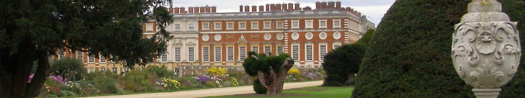
The orangery would have been located just on the other side of the hedge. Photo by HvdE.
The orangery is not on that map. And although the orangery has been around for some 150 years, the fact that it does not comply to that rather arbitrary criterion imposed on Beeckestijn by its former owners, one of the few new ‘cash-cows’ for the future owners of Beeckestijn has been denied, the local paper implies.
The local paper did not take another section of the zoning plan into account, though. In section 8.2, on page 55, it is stated that current owner DLG believes the zoning plan is too strict when it comes to Beeckestijn. 4Section 8.3 seems to be missing from the plan. The council says in response it still prefers the restrictive line it originally intended to take as far as building plans are concerned.
But. It also states that any future building plans will be examined closely by the council, which may result in a cooperative attitude from their side.
So all is not lost. But it may make the final transfer of the estate to its future owners a bit more difficult, I presume.
Footnotes

